
Keenesburg topographic map
Interactive map
Click on the map to display elevation.
About this map
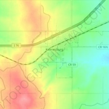
Name: Keenesburg topographic map, elevation, terrain.
Location: Keenesburg, Weld County, Colorado, États-Unis (40.09484 -104.53725 40.11668 -104.47080)
Average elevation: 1,513 m
Minimum elevation: 1,475 m
Maximum elevation: 1,557 m