Geolocate

Raiparthy topographic map

Click on the map to display elevation.

About this map

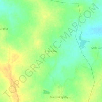
Name: Raiparthy topographic map, elevation, terrain.

Location: Raiparthy, Nadikula, Warangal, Telangana, 506356, India (18.19680 79.63650 18.23680 79.67650)

Average elevation: 220 m

Minimum elevation: 206 m

Maximum elevation: 233 m

Gear up for your next adventure:

📷Camera Straps - Secure straps for carrying cameras while walking
🦶Anti-Blister Balms - Protect your feet before long topographic expeditions
👖Convertible Hiking Trousers - Versatile zip-off pants for changing mountain weather conditions
🥾Women's Waterproof Hiking Boots - High-performance trekking boots designed for all-weather comfort
🧥Packable Down Jackets - Lightweight warmth that compresses small in your bag

As an Amazon Associate, this site earns from qualifying purchases at no extra cost to you.