
Monte Acquaviva topographic map
Interactive map
Click on the map to display elevation.
About this map
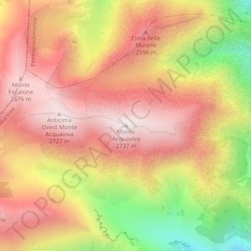
Name: Monte Acquaviva topographic map, elevation, terrain.
Location: Monte Acquaviva, Fara San Martino, Chieti, Abruzzo, Italia (42.10206 14.13024 42.10216 14.13034)
Average elevation: 2,381 m
Minimum elevation: 1,832 m
Maximum elevation: 2,734 m