
Hoyos topographic map
Interactive map
Click on the map to display elevation.
About this map
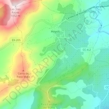
Name: Hoyos topographic map, elevation, terrain.
Location: Hoyos, Sierra de Gata, Cáceres, Extremadura, Spain (40.13315 -6.74791 40.18588 -6.69169)
Average elevation: 573 m
Minimum elevation: 364 m
Maximum elevation: 1,053 m