
Ain Zana topographic map
Interactive map
Click on the map to display elevation.
About this map
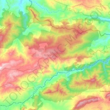
Name: Ain Zana topographic map, elevation, terrain.
Location: Ain Zana, Ouled Driss District, Souk Ahras, Algeria (36.33606 8.10801 36.46723 8.34016)
Average elevation: 652 m
Minimum elevation: 259 m
Maximum elevation: 1,156 m