
Kerkebet topographic map
Interactive map
Click on the map to display elevation.
About this map
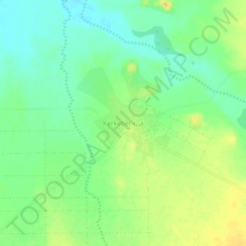
Name: Kerkebet topographic map, elevation, terrain.
Location: Kerkebet, Anseba, Eritrea (16.05001 37.41022 16.09001 37.45022)
Average elevation: 426 m
Minimum elevation: 411 m
Maximum elevation: 443 m
Other topographic maps
Click on a map to view its topography, its elevation and its terrain.