
Saint Marks Park topographic map
Interactive map
Click on the map to display elevation.
About this map
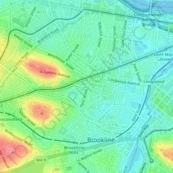
Name: Saint Marks Park topographic map, elevation, terrain.
Average elevation: 25 m
Minimum elevation: -2 m
Maximum elevation: 82 m
Other topographic maps
Click on a map to view its topography, its elevation and its terrain.
Single Tree Hill
United States > Massachusetts > Norfolk County > Brookline
Single Tree Hill, Brookline, Norfolk County, Massachusetts, 02445-5841, United States
Average elevation: 58 m