
Basor topographic map
Interactive map
Click on the map to display elevation.
About this map
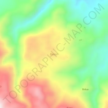
Name: Basor topographic map, elevation, terrain.
Location: Basor, Madang, Momase Region, Papua New Guinea (-5.64710 146.17634 -5.60710 146.21634)
Average elevation: 435 m
Minimum elevation: 132 m
Maximum elevation: 821 m
Other topographic maps
Click on a map to view its topography, its elevation and its terrain.