
Stöckalp topographic map
Interactive map
Click on the map to display elevation.
About this map
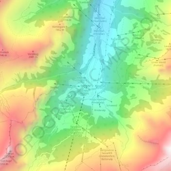
Name: Stöckalp topographic map, elevation, terrain.
Location: Stöckalp, Kerns, Obwalden, 6067, Schweiz (46.78238 8.25878 46.82238 8.29878)
Average elevation: 1,548 m
Minimum elevation: 923 m
Maximum elevation: 2,380 m
Other topographic maps
Click on a map to view its topography, its elevation and its terrain.