
Derri topographic map
Interactive map
Click on the map to display elevation.
About this map
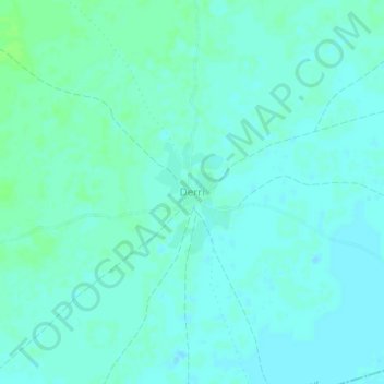
Name: Derri topographic map, elevation, terrain.
Location: Derri, El Buur District, Galgaduud, Galmudug, Somalia (4.30528 46.59406 4.34528 46.63406)
Average elevation: 136 m
Minimum elevation: 133 m
Maximum elevation: 141 m
Other topographic maps
Click on a map to view its topography, its elevation and its terrain.