Geolocate

Parham topographic map

Click on the map to display elevation.

About this map

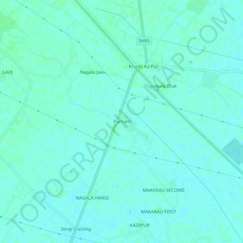
Name: Parham topographic map, elevation, terrain.

Location: Parham, Jasrana, Firozabad, Uttar Pradesh, 205130, India (27.33070 78.66660 27.37070 78.70660)

Average elevation: 166 m

Minimum elevation: 163 m

Maximum elevation: 169 m

Gear up for your next adventure:

🧵Survival Paracord - Multi-purpose cordage for emergency repairs and shelters
🥾Hiking Boots - Waterproof and durable boots for long-distance hiking in the UK
🧤Thermal Touchscreen Gloves - Stay warm while operating your GPS or smartphone camera
🍱Food Containers - Reusable containers for outdoor meals
🧺Mesh Stuff Sacks - Breathable storage for wet gear or camp organization

As an Amazon Associate, this site earns from qualifying purchases at no extra cost to you.