
Thank you for supporting this site ❤️
Make a donation
Make a donation
Gear up for your next adventure:
As an Amazon Associate, this site earns from qualifying purchases at no extra cost to you.
Barrier topographic map
Click on the map to display elevation.
Thank you for supporting this site ❤️
Make a donation
Make a donation
Gear up for your next adventure:
As an Amazon Associate, this site earns from qualifying purchases at no extra cost to you.
About this map
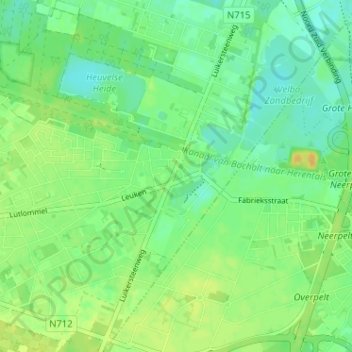
Name: Barrier topographic map, elevation, terrain.
Location: Barrier, Lommel, Maaseik, Limburg, Flanders, 3920, Belgium (51.21648 5.35690 51.25648 5.39690)
Average elevation: 43 m
Minimum elevation: 33 m
Maximum elevation: 56 m
Thank you for supporting this site ❤️
Make a donation
Make a donation
Gear up for your next adventure:
As an Amazon Associate, this site earns from qualifying purchases at no extra cost to you.