
Thank you for supporting this site ❤️
Make a donation
Make a donation
Gear up for your next adventure:
As an Amazon Associate, this site earns from qualifying purchases at no extra cost to you.
Cayran topographic map
Click on the map to display elevation.
Thank you for supporting this site ❤️
Make a donation
Make a donation
Gear up for your next adventure:
As an Amazon Associate, this site earns from qualifying purchases at no extra cost to you.
About this map
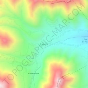
Name: Cayran topographic map, elevation, terrain.
Location: Cayran, San Francisco de Cayrán, Huánuco, 10061, Perú (-10.00094 -76.30403 -9.96094 -76.26403)
Average elevation: 2,443 m
Minimum elevation: 2,056 m
Maximum elevation: 3,070 m
Thank you for supporting this site ❤️
Make a donation
Make a donation
Gear up for your next adventure:
As an Amazon Associate, this site earns from qualifying purchases at no extra cost to you.