
Betzdorf topographic map
Interactive map
Click on the map to display elevation.
About this map
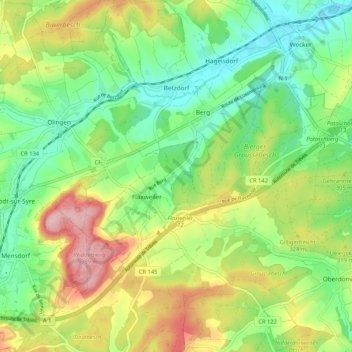
Name: Betzdorf topographic map, elevation, terrain.
Location: Betzdorf, Canton Grevenmacher, Luxembourg (49.63636 6.27733 49.70419 6.37788)
Average elevation: 279 m
Minimum elevation: 209 m
Maximum elevation: 391 m