
Nang Rong topographic map
Interactive map
Click on the map to display elevation.
About this map
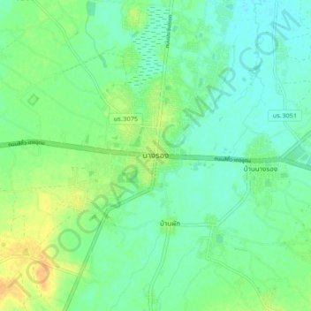
Name: Nang Rong topographic map, elevation, terrain.
Location: Nang Rong, Buri Ram Province, 31110, Thailand (14.59357 102.75343 14.67357 102.83343)
Average elevation: 184 m
Minimum elevation: 173 m
Maximum elevation: 203 m