
Sumgad-Langar topographic map
Interactive map
Click on the map to display elevation.
About this map
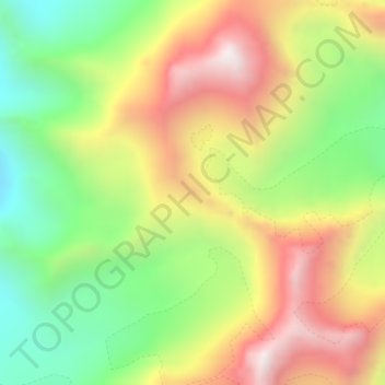
Name: Sumgad-Langar topographic map, elevation, terrain.
Average elevation: 4,603 m
Minimum elevation: 4,145 m
Maximum elevation: 5,127 m
Other topographic maps
Click on a map to view its topography, its elevation and its terrain.
Vanj
Tajikistan > Gorno-Badakhshan Autonomous Region > Vanj District
Vanj, Vanj District, Gorno-Badakhshan Autonomous Region, Tajikistan
Average elevation: 2,447 m