
Ajegunle Canal topographic map
Interactive map
Click on the map to display elevation.
About this map
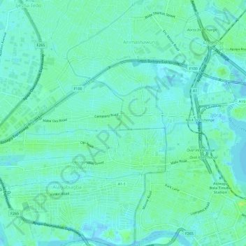
Name: Ajegunle Canal topographic map, elevation, terrain.
Location: Ajegunle Canal, Osho, Surulere, Lagos, 101212, Nigeria (6.43625 3.33323 6.49298 3.35643)
Average elevation: 4 m
Minimum elevation: -4 m
Maximum elevation: 12 m