
Rupert topographic map
Click on the map to display elevation.
Rupert
Rupert is located in southern Minidoka County at an elevation of 4,157 feet (1,267 m) above sea level. It is part of the agricultural region of the Snake River Plain known as Magic Valley, and is 3 miles (5 km) northwest of the Snake River. Interstate 84 passes 5 miles (8 km) to the south, and before its construction, U.S. Route 30 passed through Rupert. Acequia lies about 5 miles (8 km) northeast of Rupert and Jackson is about 4 miles (6 km) east of Rupert on the Snake River of Minidoka County and Cassia County of Idaho and Paul is about the same distance to the west.
About this map
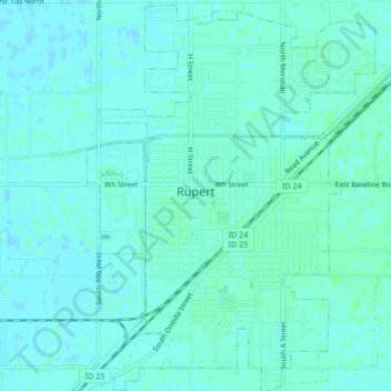
Name: Rupert topographic map, elevation, terrain.
Location: Rupert, Minidoka County, Idaho, 83350, United States (42.60328 -113.68889 42.63409 -113.65804)
Average elevation: 1,268 m
Minimum elevation: 1,265 m
Maximum elevation: 1,270 m