
Rockcastle topographic map
Interactive map
Click on the map to display elevation.
About this map
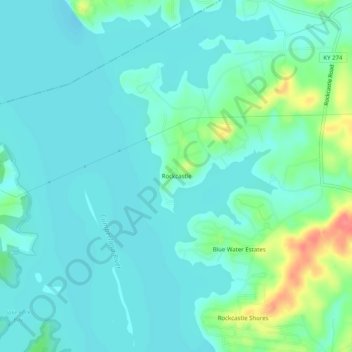
Name: Rockcastle topographic map, elevation, terrain.
Location: Rockcastle, Trigg County, Kentucky, United States (36.87977 -88.00724 36.91977 -87.96724)
Average elevation: 117 m
Minimum elevation: 103 m
Maximum elevation: 170 m