
El Bordj topographic map
Interactive map
Click on the map to display elevation.
About this map
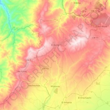
Name: El Bordj topographic map, elevation, terrain.
Location: El Bordj, El Bordj District, Mascara, Algeria (35.44720 0.25422 35.55821 0.43003)
Average elevation: 639 m
Minimum elevation: 245 m
Maximum elevation: 924 m