
Pemenasi topographic map
Interactive map
Click on the map to display elevation.
About this map
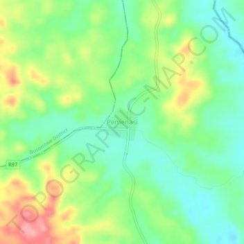
Name: Pemenasi topographic map, elevation, terrain.
Location: Pemenasi, Juaben Municipal District, Ashanti Region, Ghana (6.50513 -1.33120 6.54513 -1.29120)
Average elevation: 207 m
Minimum elevation: 164 m
Maximum elevation: 278 m