
Chevenez topographic map
Interactive map
Click on the map to display elevation.
About this map
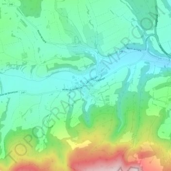
Name: Chevenez topographic map, elevation, terrain.
Location: Chevenez, Haute-Ajoie, Bezirk Pruntrut, Jura, 2906, Schweiz (47.37200 6.97986 47.41200 7.01986)
Average elevation: 572 m
Minimum elevation: 452 m
Maximum elevation: 870 m