
Wajo topographic map
Interactive map
Click on the map to display elevation.
About this map
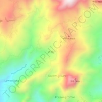
Name: Wajo topographic map, elevation, terrain.
Location: Wajo, Nagekeo, East Nusa Tenggara, Indonesia (-8.85646 121.22362 -8.81646 121.26362)
Average elevation: 669 m
Minimum elevation: 214 m
Maximum elevation: 1,176 m