
Rhymesbury topographic map
Interactive map
Click on the map to display elevation.
About this map
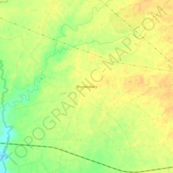
Name: Rhymesbury topographic map, elevation, terrain.
Location: Rhymesbury, Clarendon, Middlesex County, Jamaica (17.90834 -77.33872 17.94834 -77.29872)
Average elevation: 35 m
Minimum elevation: 15 m
Maximum elevation: 44 m