Geolocate

Peepliya topographic map

Click on the map to display elevation.

About this map

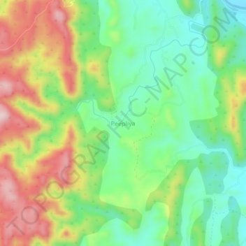
Name: Peepliya topographic map, elevation, terrain.

Location: Peepliya, Girwa Tehsil, Udaipur, Rajasthan, India (24.53312 73.57763 24.57312 73.61763)

Average elevation: 734 m

Minimum elevation: 612 m

Maximum elevation: 914 m

Other topographic maps

Click on a map to view its topography, its elevation and its terrain.

Jungle Safari Park

India > Rajasthan > Girwa Tehsil > Udaipur

Average elevation: 620 m

Pratap Park

India > Rajasthan > Girwa Tehsil > Udaipur

Average elevation: 608 m

Gear up for your next adventure:

🧴Sport Sunscreen Sticks - High-protection sunblock that won't run into your eyes on the trail
🧥Waterproof Hiking Jackets - Rain protection for walking in all weather conditions
🗺️Ordnance Survey Maps - Essential paper maps for hiking across the UK national parks
🔥Reusable Hand Warmers - Maintain dexterity in your fingers for precise map handling
📐Altimeters & Barometers - Tools for measuring altitude and air pressure

As an Amazon Associate, this site earns from qualifying purchases at no extra cost to you.