Geolocate

Qingbo topographic map

Click on the map to display elevation.

About this map

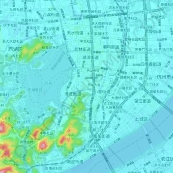
Name: Qingbo topographic map, elevation, terrain.

Location: Qingbo, Shangcheng District, Zhejiang, 310002, China (30.20415 120.12378 30.28415 120.20378)

Average elevation: 21 m

Minimum elevation: -2 m

Maximum elevation: 234 m

Gear up for your next adventure:

🐕Dog Hiking Gear - Equipment for hiking safely with dogs
🔦Keychain LED Torches - Emergency backup light for finding gear in your pack
🧷Tenacious Repair Tape - Instant fix for torn tents, jackets, or dry bags
🎒Multi-day Trekking Packs - Large capacity backpacks for wild camping and long-distance trails
🍳Camping Stoves - Compact stoves for outdoor cooking

As an Amazon Associate, this site earns from qualifying purchases at no extra cost to you.