
Heather topographic map
Click on the map to display elevation.
About this map
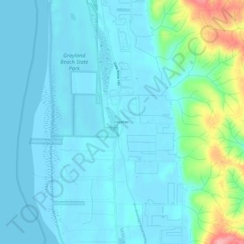
Name: Heather topographic map, elevation, terrain.
Location: Heather, Pacific County, Washington, 98547, United States (46.75148 -124.10100 46.79148 -124.06100)
Average elevation: 20 m
Minimum elevation: 0 m
Maximum elevation: 129 m