
Benito Juárez topographic map
Interactive map
Click on the map to display elevation.
About this map
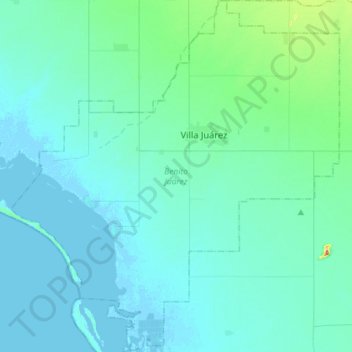
Name: Benito Juárez topographic map, elevation, terrain.
Location: Benito Juárez, Sonora, México (26.97038 -109.99631 27.22618 -109.72802)
Average elevation: 15 m
Minimum elevation: -3 m
Maximum elevation: 144 m