
Eastbrook topographic map
Interactive map
Click on the map to display elevation.
About this map
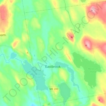
Name: Eastbrook topographic map, elevation, terrain.
Location: Eastbrook, Hancock County, Maine, United States (44.64027 -68.30343 44.74289 -68.15990)
Average elevation: 75 m
Minimum elevation: 27 m
Maximum elevation: 177 m