
Nationaal Park De Hoge Veluwe topographic map
Interactive map
Click on the map to display elevation.
About this map
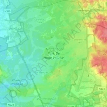
Name: Nationaal Park De Hoge Veluwe topographic map, elevation, terrain.
Average elevation: 41 m
Minimum elevation: 22 m
Maximum elevation: 87 m