
Berrouaghia topographic map
Interactive map
Click on the map to display elevation.
About this map
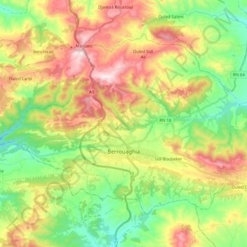
Name: Berrouaghia topographic map, elevation, terrain.
Location: Berrouaghia, Berrouaghia District, Médéa, Algeria (36.09456 2.81259 36.21203 3.01140)
Average elevation: 951 m
Minimum elevation: 691 m
Maximum elevation: 1,321 m