
Bendaoud topographic map
Interactive map
Click on the map to display elevation.
About this map
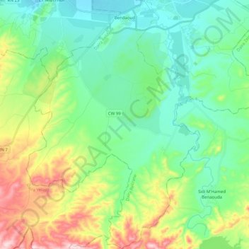
Name: Bendaoud topographic map, elevation, terrain.
Location: Bendaoud, Relizane District, Relizane, Algeria (35.56739 0.44026 35.73062 0.58069)
Average elevation: 168 m
Minimum elevation: 63 m
Maximum elevation: 431 m