Geolocate

Pevensey topographic map

Click on the map to display elevation.

About this map

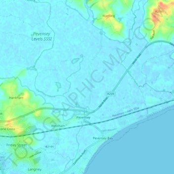
Name: Pevensey topographic map, elevation, terrain.

Location: Pevensey, Wealden, East Sussex, England, United Kingdom (50.79874 0.29196 50.86474 0.37845)

Average elevation: 4 m

Minimum elevation: -5 m

Maximum elevation: 44 m

East Sussex trails, hiking, mountain biking, running and outdoor activities

Gear up for your next adventure:

🗺️Ordnance Survey Maps - Essential paper maps for hiking across the UK national parks
🌦️Portable Weather Meters - Handheld tools for monitoring weather conditions
🗺️Scratch-off Peak Maps - Track your progress climbing Munros or Wainwrights
🍲Portable Camping Stoves - Fast-boiling stoves for hot meals on remote topographic survey trips
🦟Anti-Midge & Tick Repellent - Vital for hiking in the Scottish Highlands during summer

As an Amazon Associate, this site earns from qualifying purchases at no extra cost to you.