
Aïn Yagout topographic map
Interactive map
Click on the map to display elevation.
About this map
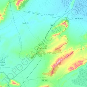
Name: Aïn Yagout topographic map, elevation, terrain.
Location: Aïn Yagout, El Madher district, Batna, Algeria (35.69373 6.32939 35.87949 6.48406)
Average elevation: 857 m
Minimum elevation: 786 m
Maximum elevation: 1,164 m