
Neguebougou topographic map
Interactive map
Click on the map to display elevation.
About this map
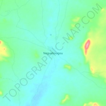
Name: Neguebougou topographic map, elevation, terrain.
Location: Neguebougou, Cercle de Kita, Kayes, Mali (14.14688 -9.74067 14.22688 -9.66067)
Average elevation: 266 m
Minimum elevation: 242 m
Maximum elevation: 361 m