
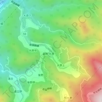
大原川 topographic map
Interactive map
Click on the map to display elevation.
About this map
Name: 大原川 topographic map, elevation, terrain.
Location: 大原川, 錦町大原, 大原上, 岩国市, 山口県, 日本 (34.36695 132.04326 34.36705 132.04363)
Average elevation: 545 m
Minimum elevation: 263 m
Maximum elevation: 1,008 m