
Aïn Kermes topographic map
Interactive map
Click on the map to display elevation.
About this map
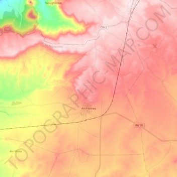
Name: Aïn Kermes topographic map, elevation, terrain.
Location: Aïn Kermes, Aïn Kermes District, Tiaret, Algeria (34.86159 0.96006 34.99801 1.17995)
Average elevation: 1,117 m
Minimum elevation: 867 m
Maximum elevation: 1,248 m