
Gitega topographic map
Interactive map
Click on the map to display elevation.
About this map
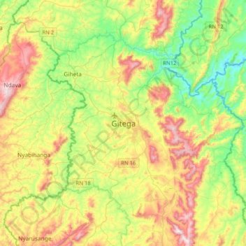
Name: Gitega topographic map, elevation, terrain.
Location: Gitega, Burundi (-3.58850 29.76497 -3.26850 30.08497)
Average elevation: 1,646 m
Minimum elevation: 1,381 m
Maximum elevation: 2,058 m