
Amioun topographic map
Interactive map
Click on the map to display elevation.
About this map
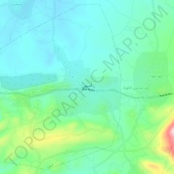
Name: Amioun topographic map, elevation, terrain.
Location: Amioun, Koura District, North Governorate, 1306, Lebanon (34.27984 35.77560 34.31990 35.82649)
Average elevation: 335 m
Minimum elevation: 260 m
Maximum elevation: 583 m