
Shushtar topographic map
Interactive map
Click on the map to display elevation.
About this map
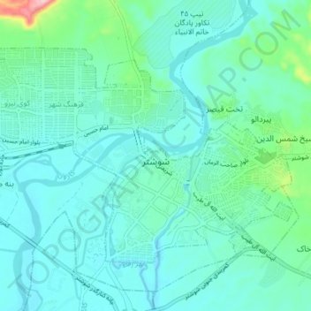
Name: Shushtar topographic map, elevation, terrain.
Location: Shushtar, بخش مرکزی, Shushtar County, Khuzestan Province, Iran (32.02958 48.81183 32.07104 48.88242)
Average elevation: 62 m
Minimum elevation: 32 m
Maximum elevation: 220 m
Other topographic maps
Click on a map to view its topography, its elevation and its terrain.