
Bairro topographic map
Interactive map
Click on the map to display elevation.
About this map
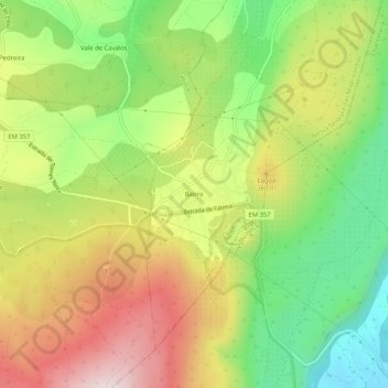
Name: Bairro topographic map, elevation, terrain.
Average elevation: 294 m
Minimum elevation: 91 m
Maximum elevation: 528 m
Other topographic maps
Click on a map to view its topography, its elevation and its terrain.
Lameirinha
Portugal > Santarém > Ourém > Lameirinha
Lameirinha, Seiça, Ourém, Santarém, 2435-123, Portugal
Average elevation: 140 m