
Kapyanga topographic map
Interactive map
Click on the map to display elevation.
About this map
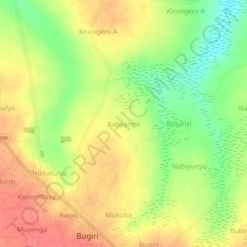
Name: Kapyanga topographic map, elevation, terrain.
Location: Kapyanga, Bugiri, Eastern Region, Uganda (0.56332 33.73770 0.60332 33.77770)
Average elevation: 1,114 m
Minimum elevation: 1,078 m
Maximum elevation: 1,141 m