
Jezuïetenhof topographic map
Interactive map
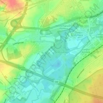
Click on the map to display elevation.
About this map
Name: Jezuïetenhof topographic map, elevation, terrain.
Average elevation: 37 m
Minimum elevation: 15 m
Maximum elevation: 72 m
Other topographic maps
Click on a map to view its topography, its elevation and its terrain.
Arenbergkasteel
België > Vlaams-Brabant > Leuven > Leuven > Heverlee
Arenbergkasteel, 1, Kasteelpark Arenberg, Heverlee, Leuven, Vlaams-Brabant, Vlaanderen, 3001, België
Average elevation: 37 m