
Warren topographic map
Interactive map
Click on the map to display elevation.
About this map
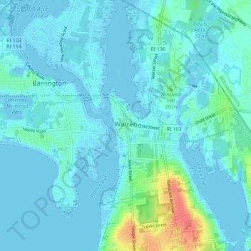
Name: Warren topographic map, elevation, terrain.
Location: Warren, Bristol County, Rhode Island, 02885, United States (41.69824 -71.29111 41.76162 -71.22546)
Average elevation: 6 m
Minimum elevation: -7 m
Maximum elevation: 47 m