
乌素途路村 topographic map
Interactive map
Click on the map to display elevation.
About this map
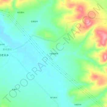
Name: 乌素途路村 topographic map, elevation, terrain.
Location: 乌素途路村, 黑老夭乡, 和林格尔县, 呼和浩特市, 内蒙古自治区, 中国 (40.40786 112.08802 40.44786 112.12802)
Average elevation: 1,455 m
Minimum elevation: 1,411 m
Maximum elevation: 1,557 m
Other topographic maps
Click on a map to view its topography, its elevation and its terrain.