
吉慶里 topographic map
Interactive map
Click on the map to display elevation.
About this map
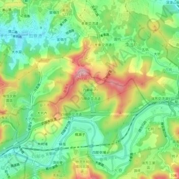
Name: 吉慶里 topographic map, elevation, terrain.
Location: 吉慶里, Sijiaotingkeng, Ruifang District, New Taipei, 20144, TW (25.09600 121.75537 25.13600 121.79537)
Average elevation: 80 m
Minimum elevation: 4 m
Maximum elevation: 197 m