
Gabazi topographic map
Interactive map
Click on the map to display elevation.
About this map
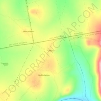
Name: Gabazi topographic map, elevation, terrain.
Location: Gabazi, Inkhundla Sigwe, Shiselweni, Eswatini (-27.05998 31.73872 -27.01998 31.77872)
Average elevation: 349 m
Minimum elevation: 262 m
Maximum elevation: 440 m