
Tahun topographic map
Interactive map
Click on the map to display elevation.
About this map
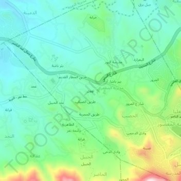
Name: Tahun topographic map, elevation, terrain.
Location: Tahun, Al Hasab, Al Muzaffar, Gouvernorat de Ta'izz, Yémen (13.56333 43.96333 13.60333 44.00333)
Average elevation: 1,242 m
Minimum elevation: 1,107 m
Maximum elevation: 1,603 m