
串本町 topographic map
Interactive map
Click on the map to display elevation.
About this map
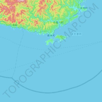
Name: 串本町 topographic map, elevation, terrain.
Location: 串本町, 東牟婁郡, 和歌山县, 日本 (33.23332 135.58008 33.58765 136.09372)
Average elevation: 42 m
Minimum elevation: -1 m
Maximum elevation: 648 m
Other topographic maps
Click on a map to view its topography, its elevation and its terrain.