
Chillepín topographic map
Interactive map
Click on the map to display elevation.
About this map
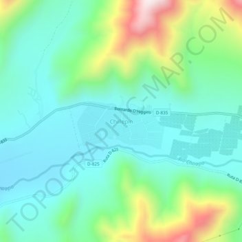
Name: Chillepín topographic map, elevation, terrain.
Location: Chillepín, Provincia de Choapa, Región de Coquimbo, Chile (-31.90347 -70.74970 -31.86347 -70.70970)
Average elevation: 1,009 m
Minimum elevation: 818 m
Maximum elevation: 1,556 m